

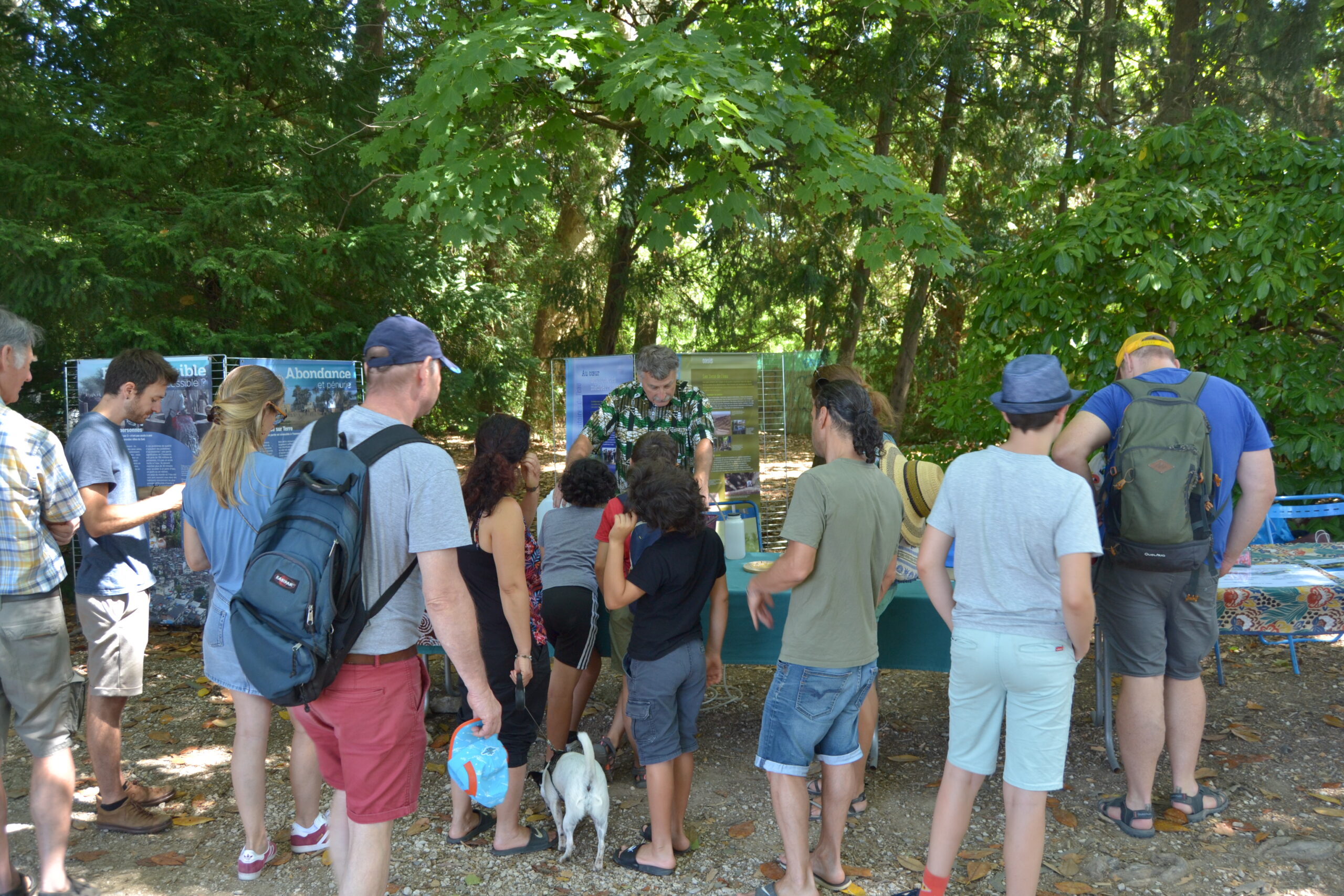
The 30th of June, French CLEPSYDRA partners, AQUA-VALLEY and IRD, have participated to the Agropol’Eat Festival. Agropol’Eat Festival is an event dedicated to civil society which welcome every year around 2000 visitors.
The Agropol’Eat project was born in 2017 to raise public awareness of the challenges of the agroecological and environmental transition, by encouraging consultation between stakeholders, the link with the territory and its inhabitants and science-society debates, through the emergence of innovative events and projects.
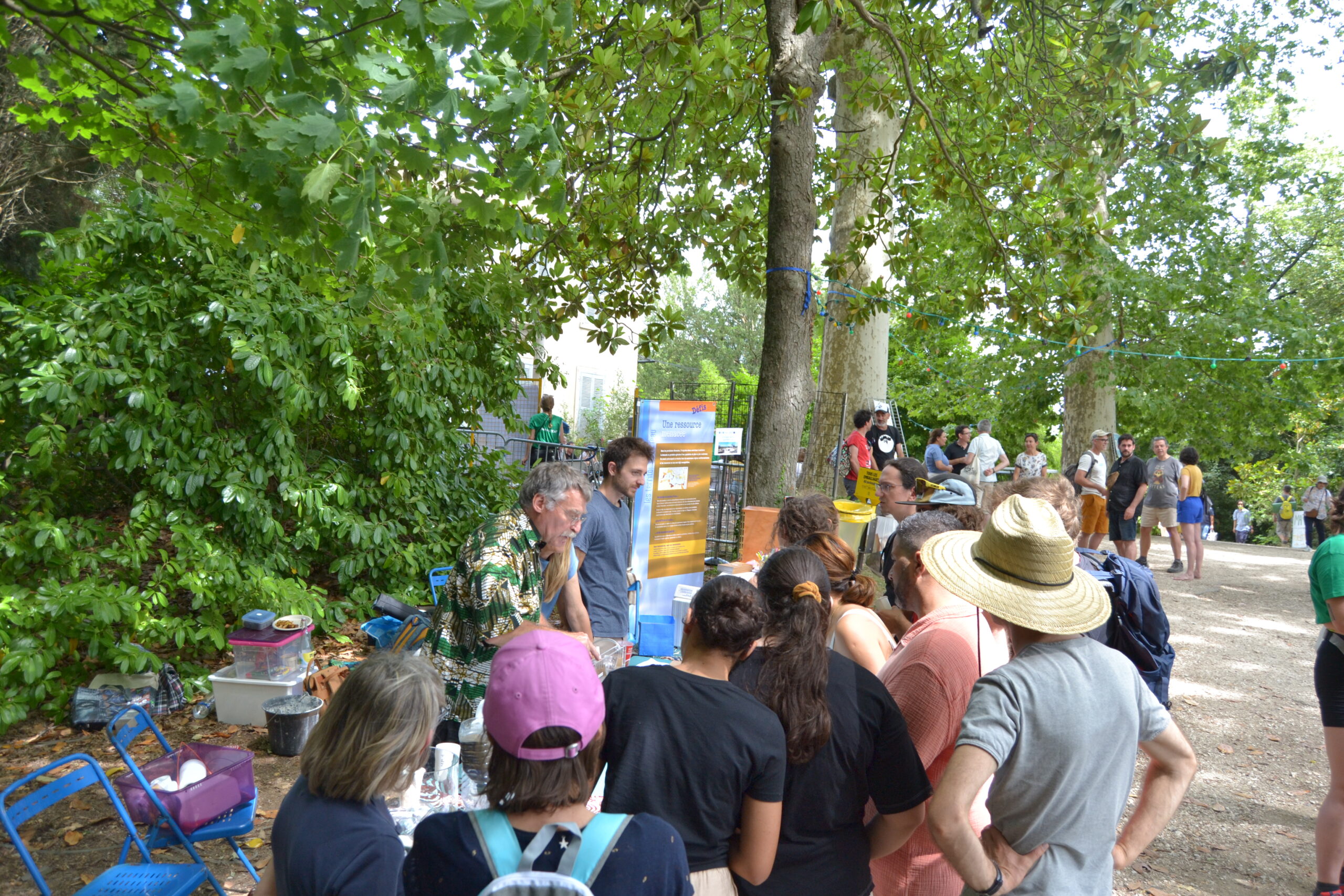
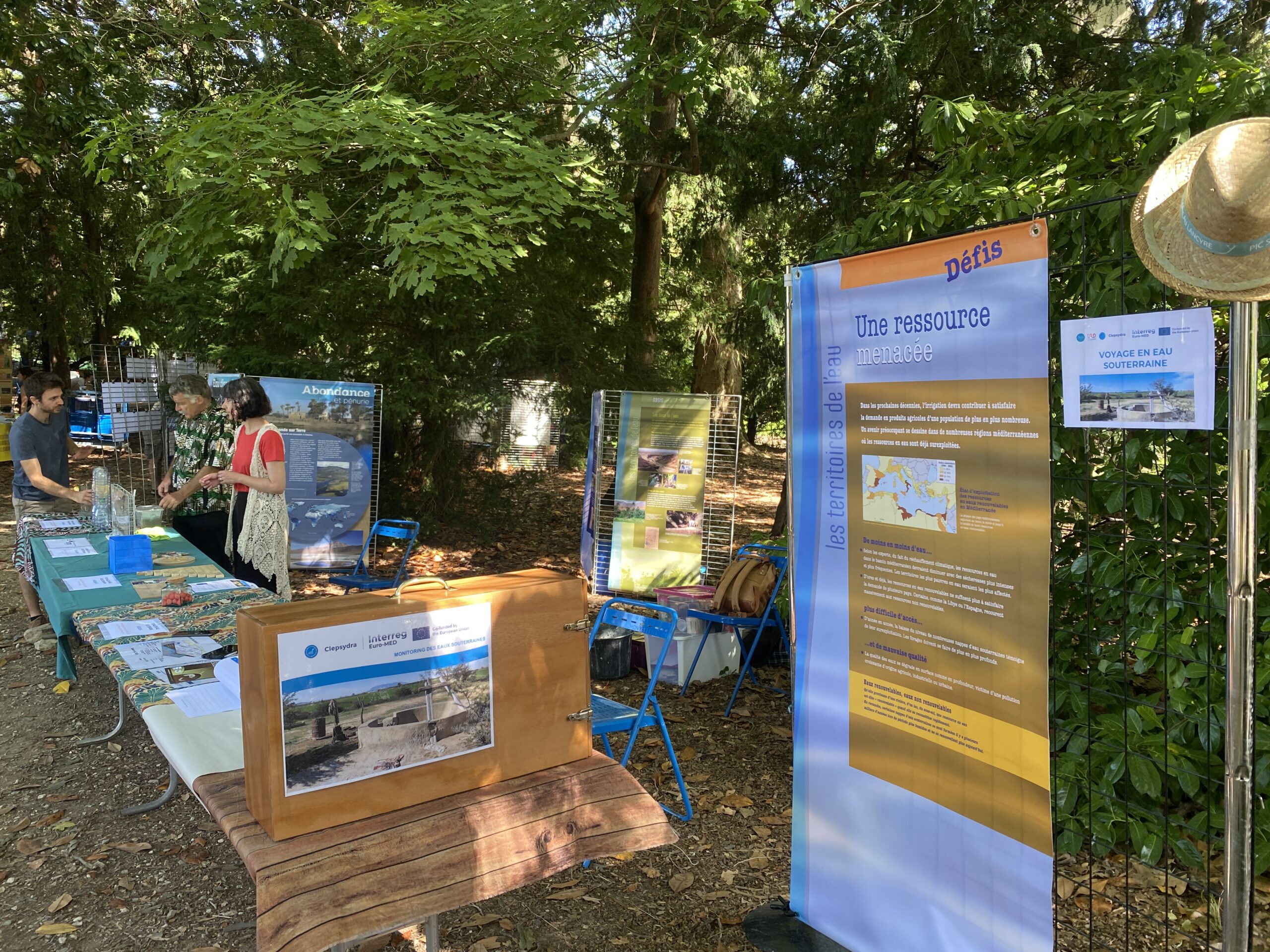
As a very well establish event, IRD and Aqua-Valley have chosen Agropol’Eat to organize their Groundwater Open day and get involved in the 2024 edition to propose to visitors a travel into groundwater.
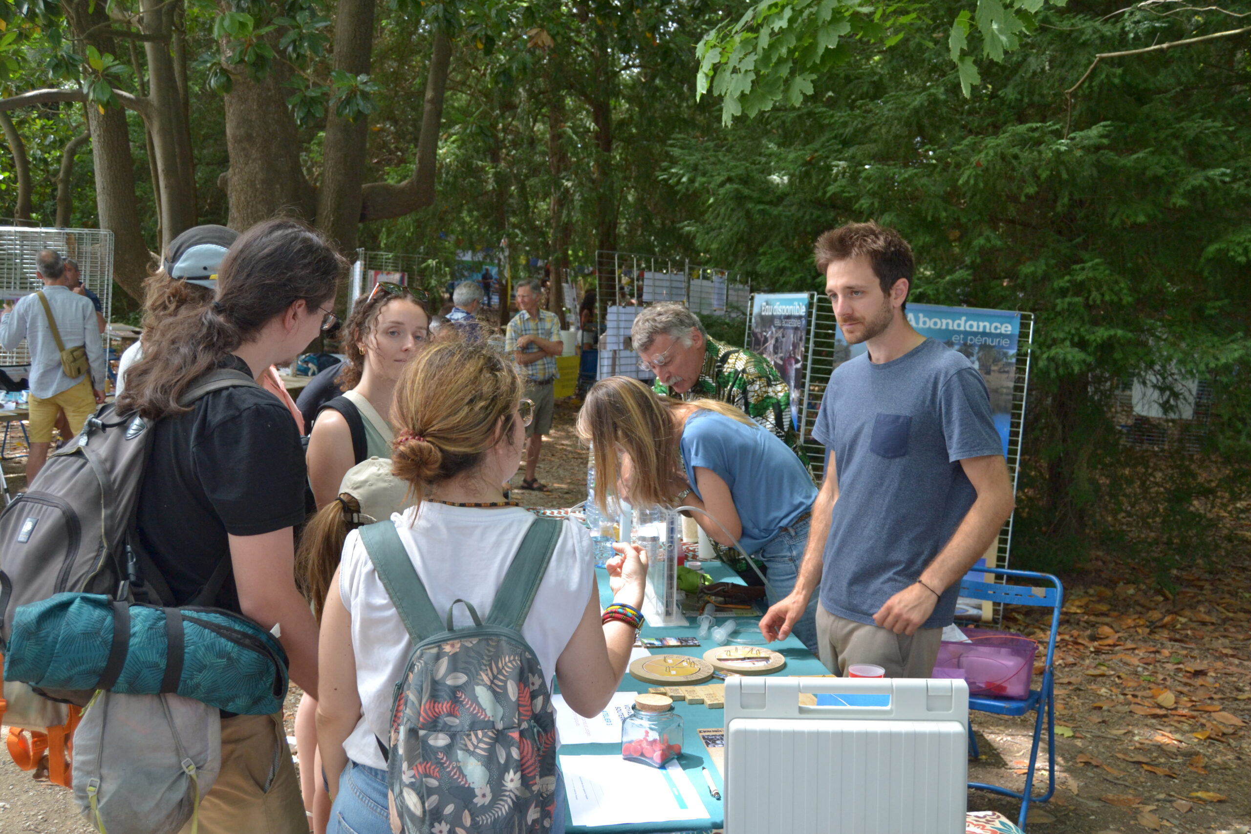
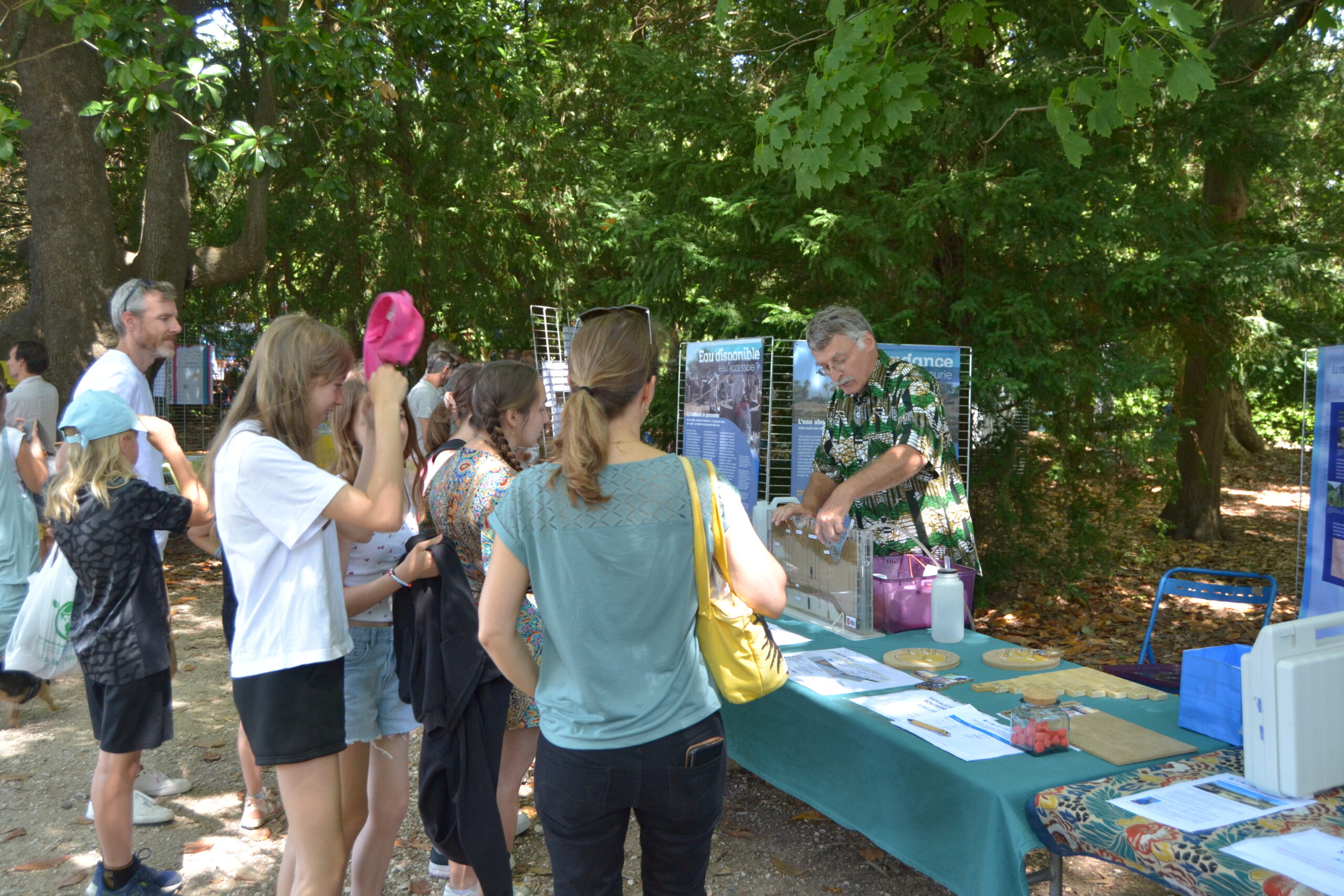
To highlight the groundwater topic, we set-up a booth to explain when and how groundwater is formed and recharged, what are the interactions with our anthropogenic uses and how we manage to monitor the groundwater to obtain useful information for our societies. The educational stand was organized around 4 workshops:
- Groundwater is not underground rivers
- Recharging groundwater where, when, how?
- Groundwater is impacted by anthropogenic uses
- Monitoring is important to better understand and manage this resource
Groundwater is not underground rivers
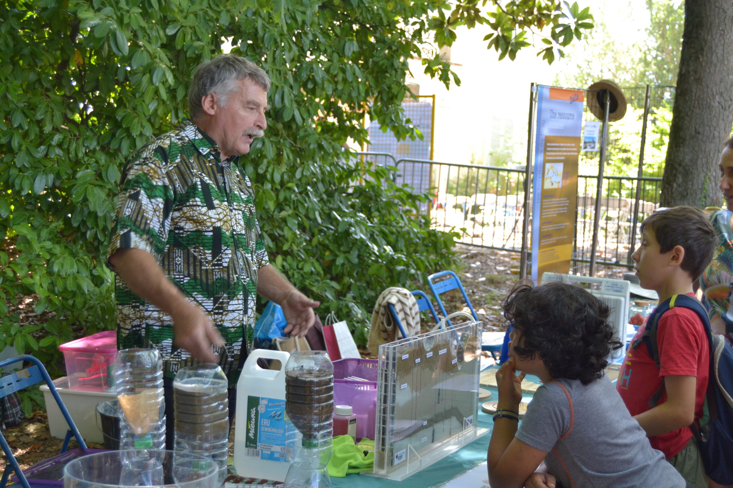
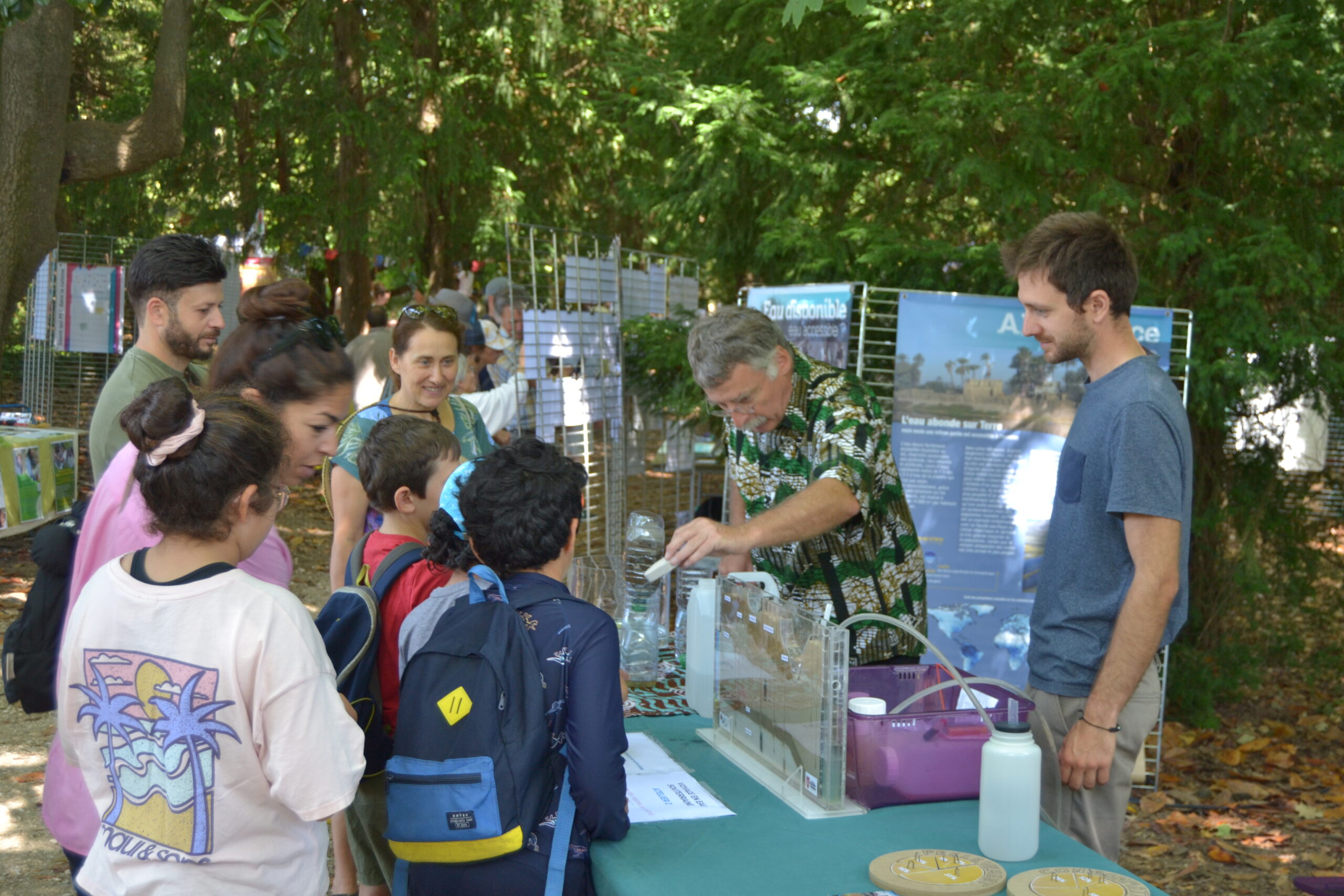
To explain this concept, we first asked people to express their vision of groundwater. Then we explained them the difference between permeability and porosity by using bottles with different soil contents (sandy to clayey) and we showed how a pumice reacts with water. With these experiments, people understood how water is present in the soil and that it’s not like an underground river.


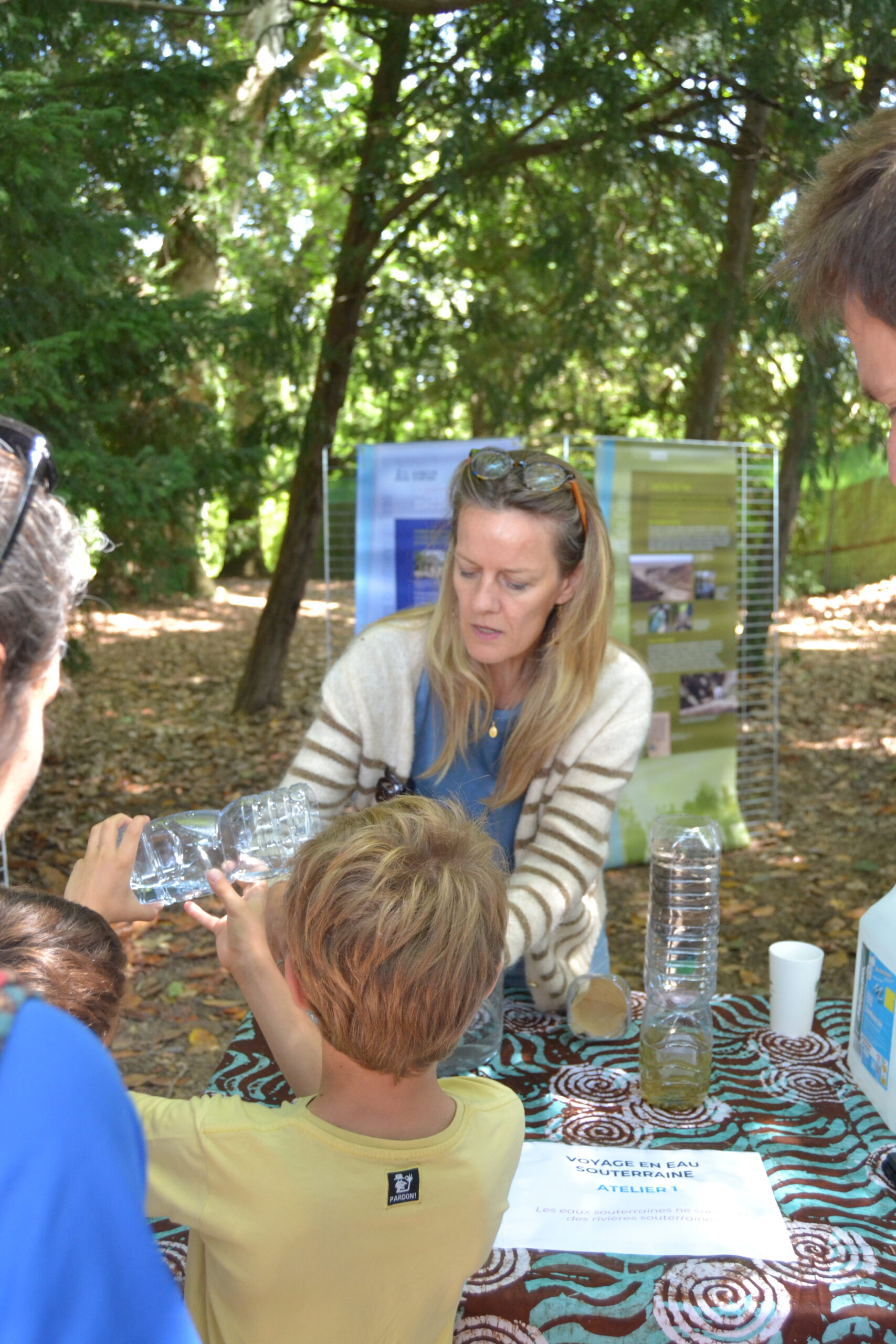
Recharging groundwater where, when, how?
To make the groundwater flow visible, the BRGM (French geological survey) which is an associated partner of CLEPSYDRA, lent us a pedagogic maquette that shows a cross section of the ground. For educational purposes, this maquette shows the circulation of water in geological formations and illustrates the impact and fate of pollution of anthropogenic origin, for example. The model consists of 2 aquifers separated by a low-permeability formation. The first aquifer is unconfined and water flows through different sandy layers. The second aquifer, at the base of the model, is confined in a low-permeability formation. Many different cases (inflow, outflow) can be simulated. Different tubes represent boreholes where the groundwater pressure can be measured. The purpose of the simulation is to show the variation in flow velocity depending on permeability and hydraulic conditions. It also shows that groundwater generally circulates in the subsoil not in the form of a river but in the interstices of the rocks.
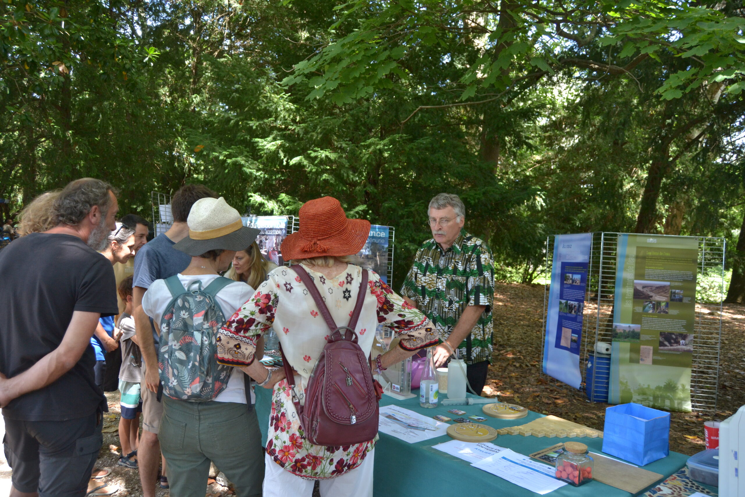
Groundwater is impacted by anthropogenic uses
We first explain the impact regarding water quality: with the maquette, we show also the circulation of a plume of pollution which contaminates a water table. We explain also how a part of the aquifer can be polluted without polluting this other because the second one is protected by an impermeable level. We explained also how pollution that comes into the ground can appear in a river connected to the aquifer.
Secondly, we explain how our anthropogenic uses can have an impact on water quantity by questioning the visitors through french water samplings and french water consumptions.


Monitoring is important to better understand and manage groundwater
A sensor was brought and tested with participants to explain to them how the groundwater measurement is done. It was the opportunity to present the CLEPSYDRA project and the importance of groundwater monitoring to improve water management.